
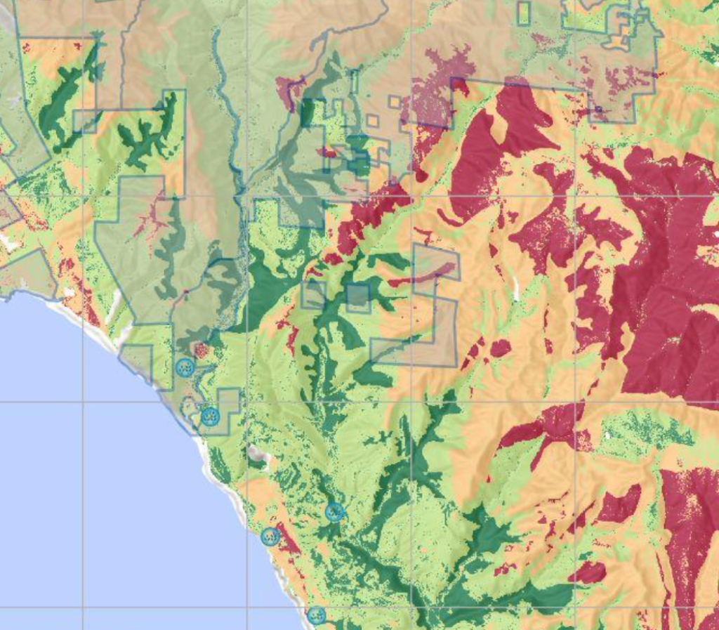
Habitat Assessment
Habitat suitability modeling turns multi-factor spatial data into clear, actionable maps of opportunity — pinpointing the most promising locations based on what matters most.
By ranking and combining criteria like terrain, proximity, land use, and environmental factors into a unified suitability score, you can visually identify optimal areas for conservation prior to major field work.
Learn about our Habitat Suitability Modeling Project for an Alpine Bird!
Interpolation Modeling
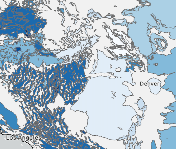
Interpolation modeling projects are valuable when you need to generate reliable estimates or predictions across a larger area or time span using only a limited set of measured data points.
By identifying patterns, relationships, and trends within the existing dataset, EcoSpatialist interpolation methods can fill in gaps between known values, allowing you to make informed predictions where direct measurements are not available. This approach is commonly used to optimize decision-making and reduce the need for costly or time-consuming data collection.
Learn about our National Groundwater Modeling Project
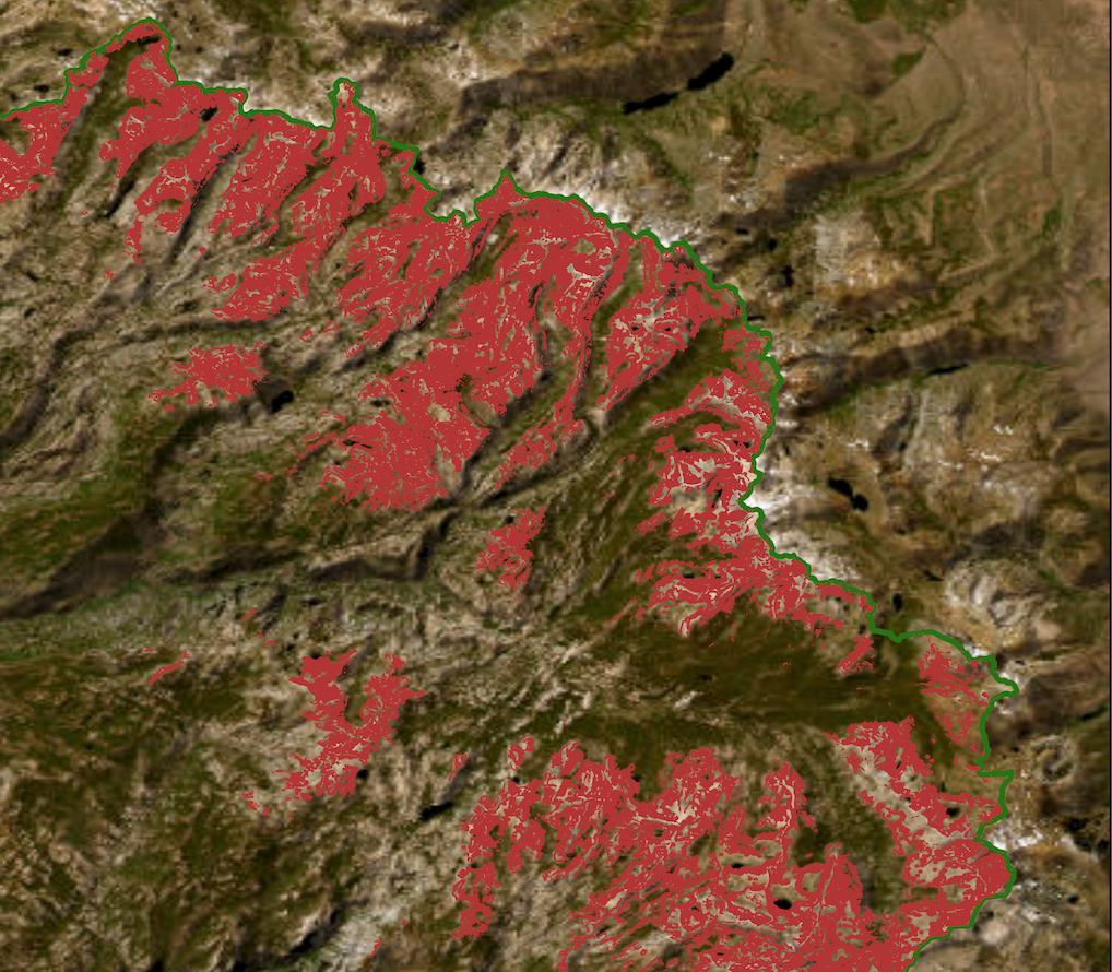
Rare Species Distribution Modeling
Suitability modeling projects are valuable when conservation practitioners need to understand where rare or sensitive species are most likely to thrive across large and complex landscapes.
By combining data such as elevation, fine-scale vegetation, soils, and known populations, EcoSpatialist suitability methods create maps that rank habitat quality and reveal potential new areas of conservation importance. This approach provides land managers with predictive insights for restoration, monitoring, and long-term biodiversity planning, helping ensure resources are directed where they will have the greatest impact.
